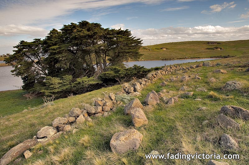
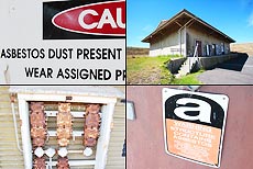
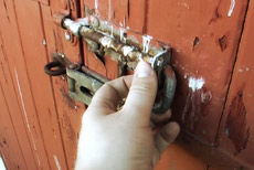
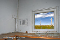
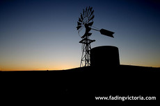
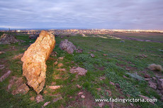
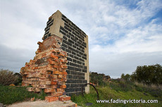
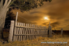
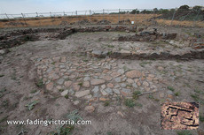
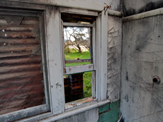
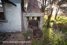
Stone wall inside former baseGreenvale, Victoria, Australia (Hume City)22 km distance from Melbourne Town Hall. | ||||
| ||||
|
| Images from the same locality: |
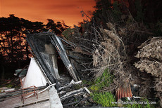
Greenvale, Victoria, Australia (Less than 1 km distance) |
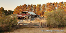
Greenvale, Victoria, Australia (Less than 1 km distance) |
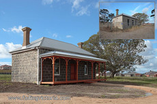
Greenvale, Victoria, Australia (1 km distance) |
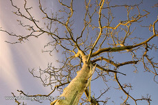
Greenvale, Victoria, Australia (1 km distance) | ||||
Greenvale, Victoria, Australia (1 km distance) |
Greenvale, Victoria, Australia (1 km distance) |
Greenvale, Victoria, Australia (1 km distance) |
Greenvale, Victoria, Australia (2 km distance) | ||||
Greenvale, Victoria, Australia (6 km distance) |
Greenvale, Victoria, Australia (7 km distance) |
Greenvale, Victoria, Australia (8 km distance) |
Greenvale, Victoria, Australia (8 km distance) | ||||
Greenvale, Victoria, Australia (8 km distance) |
| Images from adjacent localities, and further away: |
Craigieburn, Victoria, Australia (3 km distance) |
Craigieburn, Victoria, Australia (4 km distance) |
Craigieburn, Victoria, Australia (4 km distance) |
Craigieburn, Victoria, Australia (5 km distance) | ||||
Craigieburn, Victoria, Australia (5 km distance) |
Craigieburn, Victoria, Australia (5 km distance) |
Craigieburn, Victoria, Australia (5 km distance) |
Wollert, Victoria, Australia (5 km distance) | ||||
Craigieburn, Victoria, Australia (6 km distance) |
Craigieburn, Victoria, Australia (6 km distance) |
Craigieburn, Victoria, Australia (6 km distance) |
Wollert, Victoria, Australia (7 km distance) | ||||
View all images (Home)