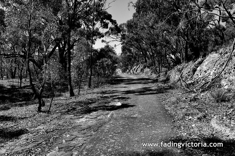
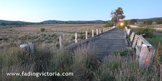
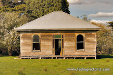
Lost highway at nightHigh Camp, Victoria, Australia (Mitchell Shire)71 km distance from Melbourne Town Hall. | ||||
| ||||
|
| Images from the same locality: |
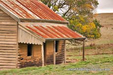
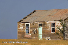
High Camp, Victoria, Australia (Less than 1 km distance) |
| Images from adjacent localities, and further away: |
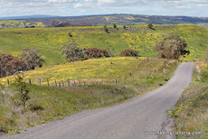
Moranding, Victoria, Australia (8 km distance) |
Moranding, Victoria, Australia (8 km distance) |
Moranding, Victoria, Australia (8 km distance) |
Forbes, Victoria, Australia (16 km distance) | ||||
Lancefield, Victoria, Australia (18 km distance) |
Kilmore, Victoria, Australia (20 km distance) |
Romsey, Victoria, Australia (26 km distance) |
Darraweit Guim, Victoria, Australia (28 km distance) | ||||
Monegeetta, Victoria, Australia (29 km distance) |
Trawool, Victoria, Australia (30 km distance) |
Bolinda, Victoria, Australia (30 km distance) |
Darraweit Guim, Victoria, Australia (32 km distance) | ||||
View all images (Home)